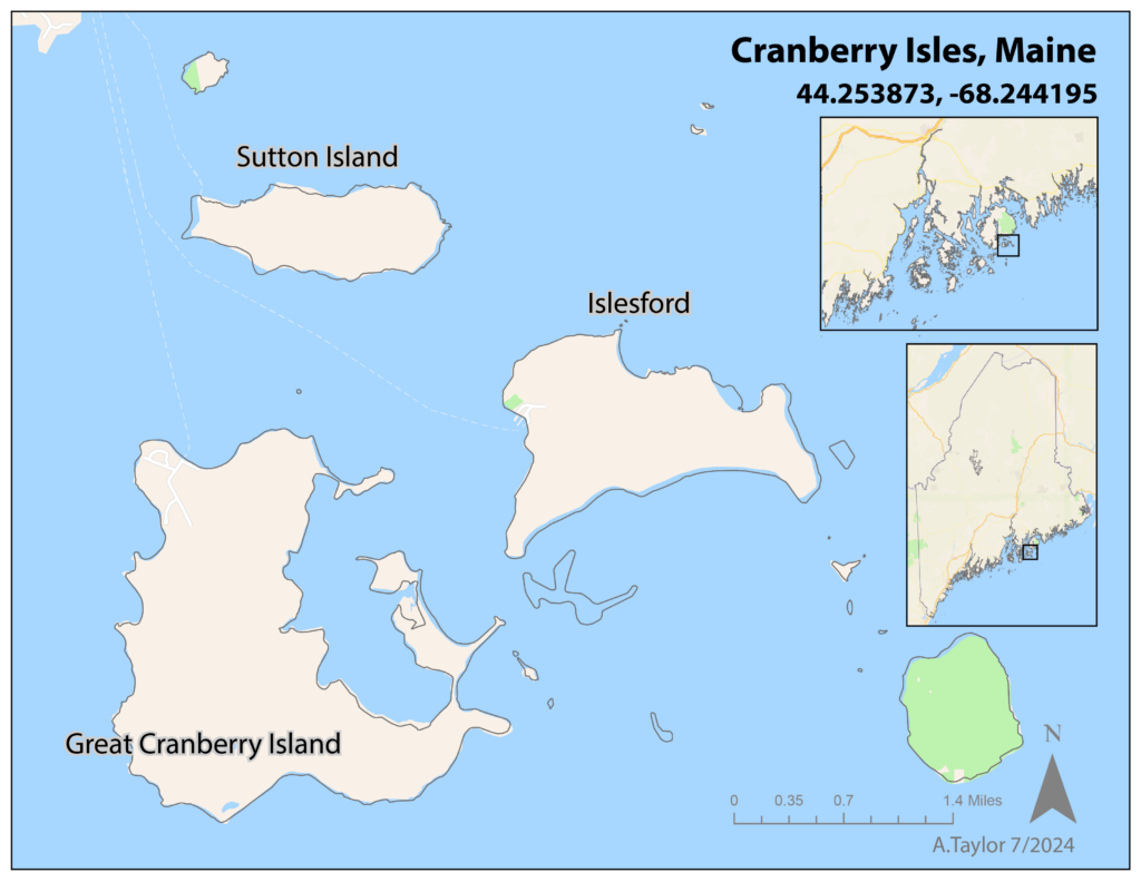
Great Cranberry, Islesford, and Sutton Island
Cranberry Isles information for the Healthy Water, Healthy Aging project.

The Cranberry Isles are composed of Great Cranberry Island, Islesford, Sutton Island, Baker Island, and Bear Island. Only Great Cranberry Island and Islesford are year-round, and Baker Island is part of Acadia National Park, creating a unique mosaic of community types on the Cranberry Isles. The Cranberry Isles sport peatlands and cranberry shrubs, notable natural features and also their namesake. Now part of Hancock County, the Cranberry Isles are traditional territory of the Wabanaki people. About a quarter of residents participate in fishing or natural resource occupations, exemplifying the robust working waterfront in Maine. The Cranberry Isles also have a long history with the arts, being home to famous artists such as Ashley Bryan. The year-round population of the Cranberry Isles sits at around 140, growing during the summer season.
To learn more about the Cranberry Isles, follow along on their community page.
Town of Cranberry Isles | Town of Cranberry Isles (cranberryisles-me.gov)
To learn more about Acadia National Park on the Cranberry Isles, check out the NPS link below.
Outer Islands – Acadia National Park (U.S. National Park Service) (nps.gov)
Cranberry Isles Project Status Table
Thanks to our collaboration with Maine Seacoast Mission and the Sutton, Islesford and Great Cranberry communities, the Healthy Water Healthy Aging project has been successful on the Cranberry Isles! Below are the running statistics for project participation and the results for what our drinking water samples are showing. Check back in to see how this project grows and what we find together!
| Island | Drinking Water Test Kits Sent Out | Drinking Water Test Kits Returned | Drinking Water Surveys Taken | Number of Contaminated Samples | Contamination Type |
|---|---|---|---|---|---|
| Great Cranberry | 7 | 3 | 7 | 1 | Iron |
| Islesford | 11 | 9 | 7 | 3 | Manganese, Iron |
| Sutton Island | 1 | 1 | 1 | 0 | N/A |